|
2004 Expeditions
The 2004 ALAS expeditions were carried out at the Cantarrana Refuge in Braulio Carrillo National Park. This site is at 300m elevation, about 10km south of the La Selva lab clearing.
For three methods - Malaise traps, flight intercept traps, and MiniWinkler transects - parallel samples were taken at La Selva. See La Selva collection data for these sample codes.
Map of entire transect, showing shelter locations: small image, large image.
Aerial photo of Barva transect, showing extent of forested cover: small image, large image.
Map of immediate vicinity of refuge, showing locations of Malaise traps and Winkler transects: click here.
Topographic map of immediate refuge vicinity: click here.
Dates and participants:
Two members of the ALAS staff (Danilo Brenes, Ronald Vargas) and a new field assistant (Eduardo Lopez P.) were present during all expeditions. The other two ALAS staff, Maylin Paniagua and Flor Cascante, were based in the ALAS lab in La Selva, where they received and processed samples and maintained communications with the field camp. The following expedition dates list visiting collaborators.
10-23 February: Dmitri Maslov, Bill Haber, Willow Zuchowski, Dave Wagner.
9-22 March: John Brown, Peter Oboyski, Jadranka Rota.
6-19 April: Jens Prena, Bob Anderson, Paul Goulet, Don Davis, Larry Kirkendall, Laura Guerra, John Longino, Rob Colwell, Charles Colwell, Carlos Viquez, G. B. Edwards.
Photo of April 6th group: click here .
Locality Data
COSTA RICA: Prov. Heredia:
11km ESE La Virgen, 250-
350m, 10°21'N 84°03'W
_________________ 2004
INBio-OET-ALAS transect
The precise GPS coordinates for the refuge building are 10°21.135'N, 84°2.916'W.
Site Description
This part of the transect is an old road bed, and the Cantarrana site itself was a small sawmill. The area between Cantarrana and La Selva was a mosaic of farms and primary forest when the Zona Protectora was established in the early 1980's and added to Braulio Carrillo National Park. The immediate vicinity of the refuge building is a dense patch of bracken fern. Just beyond that is second growth ranging from grassy areas to closed canopy forest. Primary forest can be found just a few minutes walk from the refuge, on the surrounding ridges and along the streams as one moves away from the old road bed.
The refuge is near a large stream that is a tributary of the Rio Guacimo. Although not labeled on my topo map, I have been calling it the Rio Cantarrana.
The hike to Cantarrana is not difficult. One way is to walk from La Selva, a 15km hike. You follow La Selva trails to the back edge of the property, then take a trail called the Tercio Pelo that has a lot of up and down for a kilometer or so, where it meets up with the old road bed near the Rio Peje, at a site called Magsasay. That is about the half way point, and from there it is a 2-3 hour walk to Cantarrana along a very gentle grade. The other way is to drive around to Magsasay (the drive takes about as long as it does to walk from La Selva), cross the Rio Peje on a log foot-bridge, and hike to Cantarrana from there.
In November 2003 I participated in the renovation of the Cantarrana shelter, which involved a donation of helicopter time from Dole Foods of Costa Rica (thanks to Peter Gilmore, one of the Board of Visitors of OTS). To see pictures of this activity, including pictures of the Cantarrana site, click here.
A professional photographer, Frank Guevara, took some additional photos of the pickup site at Bijagual. Click here to see these.
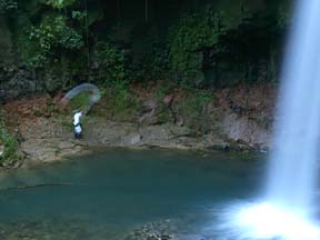
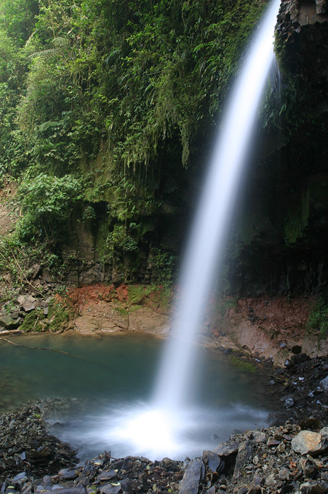
Piotr Naskrecki and Kenji Nishida visited the Cantarrana shelter in late January and Piotr took these two images of the waterfall.
Pictures of log bridge over Peje and new shelter at Cantarrana, by Kenji Nishida. (click here)
|


)
)
)
)
)
)
)